
1952 Map of Anchorage A-8
USGS Topo · Published 1963About this map
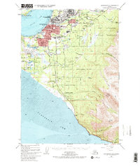
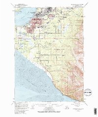
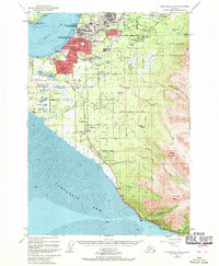
The growing urban footprint of Anchorage and its surrounding military installations dominate this mid-century landscape. Just before the Great Alaska Earthquake, the city is shown expanding into outlying areas like Spenard, Mountain View, and the newly established Turnagain Heights. The critical role of aviation is evident through the development of Merrill Airport and the sprawling International Airport near Lake Spenard, which also served as a Seaplane Base.
Find a feature on this map
69 named features on this map. Tap any name to fly to it.
Don’t see what you’re looking for? This feature index may not catch every label — zoom into the map to look around manually.
Map Details
Editions of this 1952 Anchorage A-8 Map
4 editions found
Other maps of this area

1944 · Kenai
USGS Topo · 1:250,000

1949 · Tyonek
USGS Topo · 1:250,000

1950 · Kenai
USGS Topo · 1:250,000

1951 · Seward
USGS Topo · 1:250,000

1951 · Anchorage
USGS Topo · 1:250,000

1951 · Tyonek
USGS Topo · 1:250,000

1951 · Kenai D-1
USGS Topo · 1:63,360

1951 · Seward D-8
USGS Topo · 1:63,360

1951 · Seward D-7
USGS Topo · 1:63,360

1951 · Tyonek A-1
USGS Topo · 1:63,360