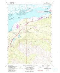
1979 Map of Anchorage B-7 NE
USGS Topo · Published 1993About this map
Eklutna serves as the focal point for this survey, situated where the Eklutna River meets the expansive Knik Arm. The map documents a critical transportation corridor during the late 20th century, showing the parallel paths of the Glenn Highway, Old Glenn Highway, and the Eklutna Siding railroad track. The infrastructure supporting this coastal region is evident through the inclusion of an Aqueduct, a Water Treatment Plant, and a Substa near the river.
Find a feature on this map
35 named features on this map. Tap any name to fly to it.
Don’t see what you’re looking for? This feature index may not catch every label — zoom into the map to look around manually.
Map Details
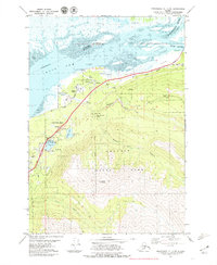
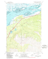
Editions of this 1979 Anchorage B-7 NE Map
3 editions found
Other maps of this area

1950 · Anchorage C-7
USGS Topo · 1:63,360

1951 · Anchorage
USGS Topo · 1:250,000

1951 · Anchorage C-6
USGS Topo · 1:63,360

1951 · Anchorage C-7
USGS Topo · 1:63,360

1952 · Anchorage C-7
USGS Topo · 1:63,360

1960 · Anchorage B-7
USGS Topo · 1:63,360

1960 · Anchorage B-6
USGS Topo · 1:63,360

1962 · Anchorage
USGS Topo · 1:250,000

1979 · Anchorage B-6 NW
USGS Topo · 1:25,000

1979 · Anchorage B-7 SW
USGS Topo · 1:25,000