
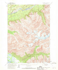
1960 Map of Anchorage C-5
USGS Topo · Published 1964About this map
Glenn Highway cuts through the northern reaches of this Alaskan terrain, following the course of the Matanuska River as it flows through the valley. This 1960 field-annotated survey captures the geography of the Matanuska-Susitna region during a period of expanding infrastructure, marked by the presence of the Chickaloon Trail and several benchmarks along the main road. The landscape is dominated by high-elevation landmarks such as Pinnacle Mountain and Kings Mtn, with a dense network of glacial and mountain streams including Kings River, Little Granite Creek, and Carpenter Creek draining into the larger river systems.
Find a feature on this map
12 named features on this map. Tap any name to fly to it.
Don’t see what you’re looking for? This feature index may not catch every label — zoom into the map to look around manually.
Map Details
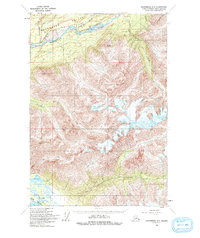
Editions of this 1960 Anchorage C-5 Map
3 editions found
Other maps of this area

1948 · Anchorage D-4
USGS Topo · 1:63,360

1949 · Anchorage D-5
USGS Topo · 1:63,360

1950 · Anchorage D-6
USGS Topo · 1:63,360

1951 · Anchorage
USGS Topo · 1:250,000

1951 · Anchorage C-6
USGS Topo · 1:63,360

1951 · Anchorage C-5
USGS Topo · 1:63,360

1952 · Anchorage D-6
USGS Topo · 1:63,360

1952 · Anchorage D-5
USGS Topo · 1:63,360

1952 · Anchorage D-4
USGS Topo · 1:63,360

1952 · Anchorage C-5
USGS Topo · 1:63,360