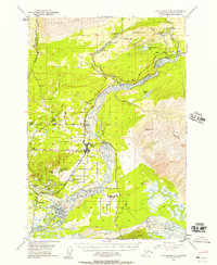
1951 Map of Anchorage C-6
USGS Topo · Published 1957About this map
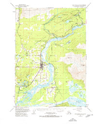
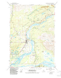
Palmer serves as the central hub of this mid-century survey, anchoring a landscape where agricultural tracts meet the industrial demands of the coal fields. The agricultural development of the Matanuska Valley is evident in the grid-like land divisions surrounding Matanuska and Bodenburg Butte, while to the north, the terrain rises sharply toward Arkose Ridge and Wishbone Hill. This region was a critical energy corridor for the territory, evidenced by the cluster of active and inactive coal works including the Evan Jones Mine, Eska Mine, and the New Black Diamond Mine. Transport routes follow the natural topography, with The Alaska Railroad and the Glenn Highway tracing the path of the Matanuska River. From the complex braids of the Knik River to the small settlements like Sutton and Jonesville, the map captures the transition between the valley's pioneering farmsteads and its mountainous mineral resources.
Find a feature on this map
51 named features on this map. Tap any name to fly to it.
Don’t see what you’re looking for? This feature index may not catch every label — zoom into the map to look around manually.
Map Details
Editions of this 1951 Anchorage C-6 Map
7 editions found
Other maps of this area

1949 · Anchorage D-5
USGS Topo · 1:63,360

1949 · Anchorage D-7
USGS Topo · 1:63,360

1950 · Anchorage D-6
USGS Topo · 1:63,360

1950 · Anchorage C-7
USGS Topo · 1:63,360

1951 · Anchorage
USGS Topo · 1:250,000

1951 · Anchorage C-6
USGS Topo · 1:63,360

1951 · Anchorage C-7
USGS Topo · 1:63,360

1951 · Anchorage C-5
USGS Topo · 1:63,360

1951 · Anchorage D-7
USGS Topo · 1:63,360

1952 · Anchorage C-7
USGS Topo · 1:63,360