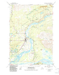
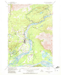
1951 Map of Anchorage C-6
USGS Topo · Published 1987About this map
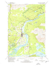
The Matanuska Valley serves as the focal point for this mid-century survey, centered on the growing community of Palmer. The landscape is a complex network of glacial rivers and industrial expansion, where the Matanuska River carves through the lowlands below Lazy Mtn. The map documents a critical era for the region's coal industry, detailing the mining infrastructure at Jonesville and the Buffalo Mine along Buffalo Creek. Local institutional history is well-represented, from the State Fairgrounds and High Sch in the valley floor to the Palmer State Correctional Center situated near Seventeenmile Lake. Evidence of the area's transition from early rail-dependent extraction to modern road networks is clear, with the Old Railroad Grade running parallel to the Matanuska River while the Glenn Highway provides the primary artery for northern travel toward Sutton.
Find a feature on this map
68 named features on this map. Tap any name to fly to it.
Don’t see what you’re looking for? This feature index may not catch every label — zoom into the map to look around manually.
Map Details
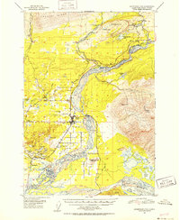
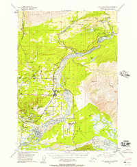
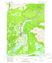
Editions of this 1951 Anchorage C-6 Map
7 editions found
Other maps of this area

1949 · Anchorage D-5
USGS Topo · 1:63,360

1949 · Anchorage D-7
USGS Topo · 1:63,360

1950 · Anchorage D-6
USGS Topo · 1:63,360

1950 · Anchorage C-7
USGS Topo · 1:63,360

1951 · Anchorage
USGS Topo · 1:250,000

1951 · Anchorage C-6
USGS Topo · 1:63,360

1951 · Anchorage C-7
USGS Topo · 1:63,360

1951 · Anchorage C-5
USGS Topo · 1:63,360

1951 · Anchorage D-7
USGS Topo · 1:63,360

1952 · Anchorage C-7
USGS Topo · 1:63,360