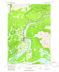
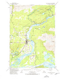
1951 Map of Anchorage C-6
USGS Topo · Published 1963About this map
The Matanuska River valley opens into a complex network of glacial landforms and coal-rich uplands in this early 1950s record of Southcentral Alaska. The burgeoning settlement of Palmer serves as the regional hub, flanked by an extensive system of local aviation infrastructure including the Whitaker Landing Strip, McKinley Landing Strip, and Smith Landing Strip. This reliance on small aircraft highlights the era's transport patterns before the full development of the road network.
Find a feature on this map
63 named features on this map. Tap any name to fly to it.
Don’t see what you’re looking for? This feature index may not catch every label — zoom into the map to look around manually.
Map Details
Editions of this 1951 Anchorage C-6 Map
7 editions found
Other maps of this area

1949 · Anchorage D-5
USGS Topo · 1:63,360

1949 · Anchorage D-7
USGS Topo · 1:63,360

1950 · Anchorage D-6
USGS Topo · 1:63,360

1950 · Anchorage C-7
USGS Topo · 1:63,360

1951 · Anchorage
USGS Topo · 1:250,000

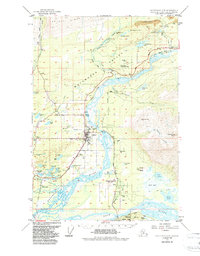
1951 · Anchorage C-6
USGS Topo · 1:63,360

1951 · Anchorage C-7
USGS Topo · 1:63,360

1951 · Anchorage C-5
USGS Topo · 1:63,360

1951 · Anchorage D-7
USGS Topo · 1:63,360

1952 · Anchorage C-7
USGS Topo · 1:63,360