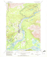
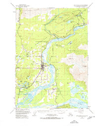
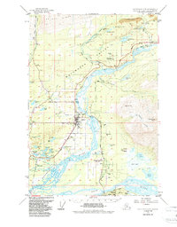
1951 Map of Anchorage C-6
USGS Topo · Published 1972About this map
Coal mining and rail infrastructure define this portion of the Matanuska Valley during the early 1950s. The northern reaches are dominated by the industrial operations at Evan Jones Mine, the New Black Diamond Mine, and the Premier Mine near Jonesville. These sites were linked to the broader economy via The Alaska Railroad, which skirts the Matanuska River toward Sutton.
Find a feature on this map
65 named features on this map. Tap any name to fly to it.
Don’t see what you’re looking for? This feature index may not catch every label — zoom into the map to look around manually.
Map Details
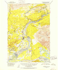
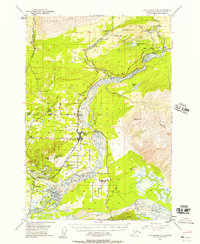
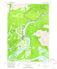
Editions of this 1951 Anchorage C-6 Map
7 editions found
Other maps of this area

1949 · Anchorage D-5
USGS Topo · 1:63,360

1949 · Anchorage D-7
USGS Topo · 1:63,360

1950 · Anchorage D-6
USGS Topo · 1:63,360

1950 · Anchorage C-7
USGS Topo · 1:63,360

1951 · Anchorage
USGS Topo · 1:250,000

1951 · Anchorage C-6
USGS Topo · 1:63,360

1951 · Anchorage C-7
USGS Topo · 1:63,360

1951 · Anchorage C-5
USGS Topo · 1:63,360

1951 · Anchorage D-7
USGS Topo · 1:63,360

1952 · Anchorage C-7
USGS Topo · 1:63,360