
1948 Map of Anchorage D-4
USGS Topo · Published 1962About this map
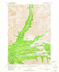
The Matanuska River valley and its surrounding high country are captured here during a period of transition in the late 1940s. The landscape is defined by the sharp transition between the Talkeetna Mountains to the north and the Chugach Mountains to the south. Central to this area is the intersection of resource extraction and transit, evidenced by the Coal Mine (Aban'd) and the Cable Tramway near the riverbanks. The Glenn Highway provides the primary corridor through the valley, while the historic Chickaloon Knik Nelchina Trail suggests older patterns of overland travel.
Find a feature on this map
44 named features on this map. Tap any name to fly to it.
Don’t see what you’re looking for? This feature index may not catch every label — zoom into the map to look around manually.
Map Details
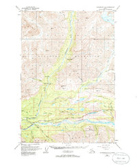
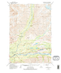
Editions of this 1948 Anchorage D-4 Map
4 editions found
Other maps of this area

1948 · Anchorage D-3
USGS Topo · 1:63,360

1949 · Anchorage D-5
USGS Topo · 1:63,360

1949 · Talkeetna Mountains A-4
USGS Topo · 1:63,360

1950 · Talkeetna Mountains
USGS Topo · 1:250,000

1951 · Anchorage
USGS Topo · 1:250,000

1951 · Anchorage C-5
USGS Topo · 1:63,360

1951 · Talkeetna Mountains A-3
USGS Topo · 1:63,360

1952 · Anchorage D-5
USGS Topo · 1:63,360

1952 · Anchorage D-4
USGS Topo · 1:63,360

1952 · Anchorage D-3
USGS Topo · 1:63,360