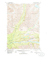
1948 Map of Anchorage D-4
USGS Topo · Published 1986About this map
Chickaloon sits at the confluence of the Chickaloon River and the Matanuska River, serving as a focal point for trans-mountain travel in the late 1940s. The landscape is defined by the sharp transition from the Talkeetna Mountains in the north to the Chugach Mountains in the south, linked by the vital corridor of the Glenn Highway. Industrial history is evident at the Coal Mine (Aband) near the Cable Tramway, indicating the era's reliance on mineral extraction along the riverbanks.
Find a feature on this map
48 named features on this map. Tap any name to fly to it.
Don’t see what you’re looking for? This feature index may not catch every label — zoom into the map to look around manually.
Map Details
Editions of this 1948 Anchorage D-4 Map
4 editions found
Other maps of this area

1948 · Anchorage D-3
USGS Topo · 1:63,360

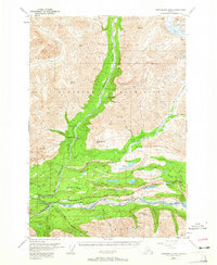
1948 · Anchorage D-4
USGS Topo · 1:63,360

1949 · Anchorage D-5
USGS Topo · 1:63,360

1949 · Talkeetna Mountains A-4
USGS Topo · 1:63,360

1950 · Talkeetna Mountains
USGS Topo · 1:250,000

1951 · Anchorage
USGS Topo · 1:250,000

1951 · Anchorage C-5
USGS Topo · 1:63,360

1951 · Talkeetna Mountains A-3
USGS Topo · 1:63,360

1952 · Anchorage D-5
USGS Topo · 1:63,360

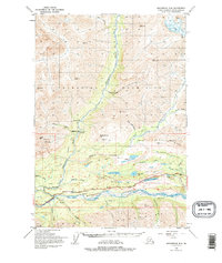
1952 · Anchorage D-4
USGS Topo · 1:63,360