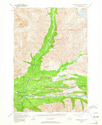
1948 Map of Anchorage D-4
USGS Topo · Published 1965About this map
The Matanuska River valley and its surrounding highlands reveal a landscape of early industrial exploration and high-latitude transport routes during the late 1940s. The settlement of Chickaloon sits at the confluence of Chickaloon Creek and the main river, serving as a focal point for activity near the Glenn Highway. Upriver from the town, evidence of the area's geological utility is clear at the Coal Mine and the nearby Cable Tramway, which likely serviced the extraction efforts along the base of Anthracite Ridge. To the north, the Chickaloon River winds through the Talkeetna Mountains, its course marked by a series of remote outposts including Fourteenmile Cabin, Ninemile Cabin, and Eightmile Cabin. These numbered landmarks, alongside the Ninetyeight Bridge, underscore a history of transit and surveying in this unforgiving territory, while lakes like Bonnie Lake and Long Lake break the dense terrain of the river basin.
Find a feature on this map
50 named features on this map. Tap any name to fly to it.
Don’t see what you’re looking for? This feature index may not catch every label — zoom into the map to look around manually.
Map Details
Editions of this 1948 Anchorage D-4 Map
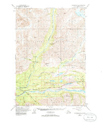
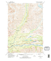
4 editions found
Other maps of this area

1948 · Anchorage D-3
USGS Topo · 1:63,360

1948 · Anchorage D-4
USGS Topo · 1:63,360

1949 · Anchorage D-5
USGS Topo · 1:63,360

1949 · Talkeetna Mountains A-4
USGS Topo · 1:63,360

1950 · Talkeetna Mountains
USGS Topo · 1:250,000

1951 · Anchorage
USGS Topo · 1:250,000

1951 · Anchorage C-5
USGS Topo · 1:63,360

1951 · Talkeetna Mountains A-3
USGS Topo · 1:63,360

1952 · Anchorage D-5
USGS Topo · 1:63,360

1952 · Anchorage D-4
USGS Topo · 1:63,360