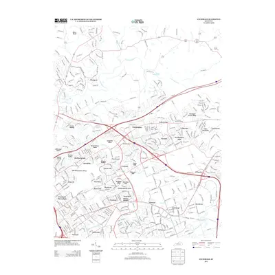
2013 Map of Anchorage
USGS Topo · Published 2013About this map
Prospect and the suburban reaches northeast of Louisville are captured here during a period of significant residential development. The landscape is defined by a dense network of suburban enclaves such as Graymoor -Devondale, Bellemeade, and Anchorage, where modern subdivisions are woven into a topography shaped by Harrods Creek and the Middle Fork Beargrass Creek. This map reveals the era's infrastructure, including the heavy corridor of the CSX Transportation rail line and major interstates that connect these communities to the urban core. Local heritage is preserved in sites like the Harrods Creek Cemetery and Louisville Memorial Gardens, while the inclusion of smaller settlements like Berrytown and Griffytown provides important context for genealogical research in this part of Kentucky.
Find a feature on this map
62 named features on this map. Tap any name to fly to it.
Don’t see what you’re looking for? This feature index may not catch every label — zoom into the map to look around manually.
Map Details
Editions of this 2013 Anchorage Map
This is the sole edition of this map. No revisions or reprints were ever made.
Other maps of this area

1905 · Prospect
USGS Topo · 1:62,500

1907 · Louisville
USGS Topo · 1:62,500

1912 · Prospect
USGS Topo · 1:62,500

1929 · Taylorsville
USGS Topo · 1:62,500

1932 · La Grange
USGS Topo · 1:62,500

1937 · Jeffersonville
USGS Topo · 1:24,000

1937 · Charlestown
USGS Topo · 1:24,000

1938 · Owen
USGS Topo · 1:24,000

1946 · Jeffersonville
USGS Topo · 1:24,000

1948 · Owen
USGS Topo · 1:24,000