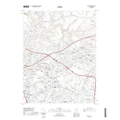
2019 Map of Anchorage
USGS Topo · Published 2019About this map
Harrods Creek and its southern fork wind through a landscape defined by the suburban expansion of eastern Jefferson Co and neighboring Oldham County. This recent 2019 survey documents a dense network of residential communities, including Prospect, Crestwood, and Pewee Valley, that have transformed the former agricultural lands of north-central Kentucky. The terrain is marked by the distinct drainage of Little Goose Creek and Chenoweth Run, which have influenced the layout of historical roads like Old Brownsboro Place and Ballardsville road.
Find a feature on this map
88 named features on this map. Tap any name to fly to it.
Don’t see what you’re looking for? This feature index may not catch every label — zoom into the map to look around manually.
Map Details
Editions of this 2019 Anchorage Map
This is the sole edition of this map. No revisions or reprints were ever made.
Other maps of this area

1905 · Prospect
USGS Topo · 1:62,500

1907 · Louisville
USGS Topo · 1:62,500

1912 · Prospect
USGS Topo · 1:62,500

1929 · Taylorsville
USGS Topo · 1:62,500

1932 · La Grange
USGS Topo · 1:62,500

1937 · Jeffersonville
USGS Topo · 1:24,000

1937 · Charlestown
USGS Topo · 1:24,000

1938 · Owen
USGS Topo · 1:24,000

1946 · Jeffersonville
USGS Topo · 1:24,000

1948 · Owen
USGS Topo · 1:24,000