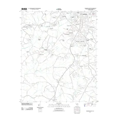
2011 Map of Anderson South
USGS Topo · Published 2011About this map
Anderson and its southern suburbs define the landscape of this 2011 survey, showing the transition from the city's residential neighborhoods to the agricultural and light industrial lands of the South Carolina Piedmont. Suburban expansion is evident in developments like Beverly Hills, Cherokee Farms, and Varennes Heights, while older community identities persist in Gluck and Homeland Park. The map is particularly valuable for genealogists, as it documents numerous burial grounds ranging from large civic sites like Silver Brook Cemetery and Westview Cemetery to the more secluded Byrum-LeBoon Family Cemetery.
Find a feature on this map
188 named features on this map. Tap any name to fly to it.
Don’t see what you’re looking for? This feature index may not catch every label — zoom into the map to look around manually.
Map Details
Editions of this 2011 Anderson South Map
This is the sole edition of this map. No revisions or reprints were ever made.
Other maps of this area

1888 · Pickens
USGS Topo · 1:125,000

1893 · Elberton
USGS Topo · 1:125,000

1894 · Pickens
USGS Topo · 1:125,000

1950 · La France
USGS Topo · 1:24,000

1951 · La France
USGS Topo · 1:24,000

1954 · Greenville
USGS Topo · 1:250,000

1957 · Anderson
USGS Topo · 1:62,500

1958 · Greenville
USGS Topo · 1:250,000

1959 · Hartwell Dam
USGS Topo · 1:24,000

1959 · Hartwell NE
USGS Topo · 1:24,000