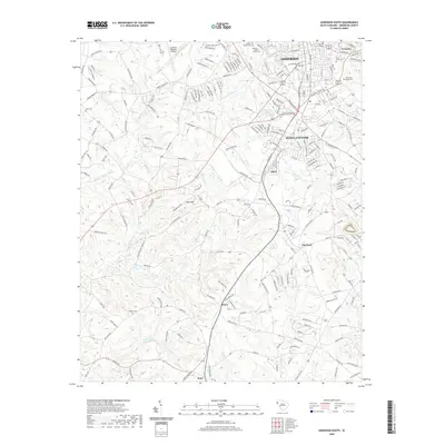
2020 Map of Anderson South
USGS Topo · Published 2020About this map
Anderson and its southern industrial and residential fringes are characterized by a dense network of suburban expansion and historical corridors. The area known as Homeland Park and the settlement of Gluck sit between major transportation routes like S Murray Ave and S Main St, where the landscape transitions from urban development to more rural terrain. Local heritage is deeply etched into the land through numerous burial grounds, including the large Silver Brook Cem and Westview Cem, while institutions like Forrest College anchor the northern portion of the survey. As the terrain moves south toward Starr and Deans, the residential blocks give way to a more open landscape defined by watercourses such as Big Generostee Cr and Mountain Cr, alongside isolated landmarks like Little Mtn.
Find a feature on this map
216 named features on this map. Tap any name to fly to it.
Don’t see what you’re looking for? This feature index may not catch every label — zoom into the map to look around manually.
Map Details
Editions of this 2020 Anderson South Map
This is the sole edition of this map. No revisions or reprints were ever made.
Other maps of this area

1888 · Pickens
USGS Topo · 1:125,000

1893 · Elberton
USGS Topo · 1:125,000

1894 · Pickens
USGS Topo · 1:125,000

1950 · La France
USGS Topo · 1:24,000

1951 · La France
USGS Topo · 1:24,000

1954 · Greenville
USGS Topo · 1:250,000

1957 · Anderson
USGS Topo · 1:62,500

1958 · Greenville
USGS Topo · 1:250,000

1959 · Hartwell Dam
USGS Topo · 1:24,000

1959 · Hartwell NE
USGS Topo · 1:24,000