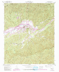
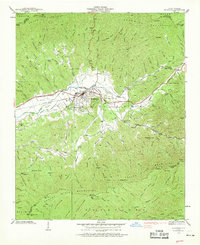
1938 Map of Andrews
USGS Topo · Published 1991About this map
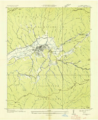
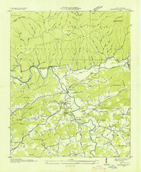
Andrews and the surrounding Valley River corridor are captured in this 1938 survey, revised to show the infrastructure of the late 20th century. The town is a central hub where the Southern Railway meets major routes like U S 19 74 129. The map highlights a mix of local heritage and state operations, including the Valley River Ch and Cem and a State Prison Camp located along Tatham Creek. Industrial and aviation developments are evident at the Sewage Disposal Plant and the Andrews-Murphy Airfield.
Find a feature on this map
79 named features on this map. Tap any name to fly to it.
Don’t see what you’re looking for? This feature index may not catch every label — zoom into the map to look around manually.
Map Details
Editions of this 1938 Andrews Map
7 editions found

Other maps of this area

1933 · Bushnell
USGS Topo · 1:62,500
1935 · Peachtree
USGS Topo · 1:24,000
1935 · Robbinsville
USGS Topo · 1:24,000
1935 · Shooting Creek
USGS Topo · 1:24,000

1935 · Topton
USGS Topo · 1:24,000
1935 · Marble
USGS Topo · 1:24,000

1935 · Wayah Bald
USGS Topo · 1:48,000
1935 · Santeetlah Creek
USGS Topo · 1:24,000
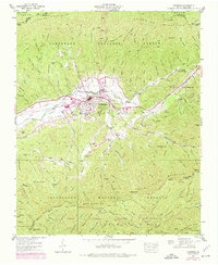
1935 · Andrews
USGS Topo · 1:24,000
1935 · Hayesville
USGS Topo · 1:24,000