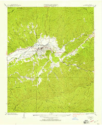
1938 Map of Andrews
USGS Topo · Published 1957About this map
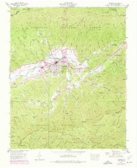
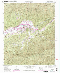
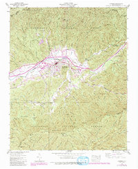
The valley of the Valley River and Nantahala River serves as the focal point for this 1938 Tennessee Valley Authority and USGS field examination. The town of Andrews dominates the central landscape, showing a concentrated grid of streets serviced by the Southern Railway Company and featuring a local Hotel. Cultural landmarks are scattered throughout the surrounding slopes, including the Valleytown Cem and the combined Valley River Ch and Cem.
Find a feature on this map
73 named features on this map. Tap any name to fly to it.
Don’t see what you’re looking for? This feature index may not catch every label — zoom into the map to look around manually.
Map Details
Editions of this 1938 Andrews Map
7 editions found
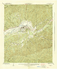
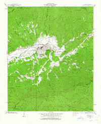
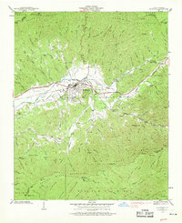
Other maps of this area

1933 · Bushnell
USGS Topo · 1:62,500

1935 · Peachtree
USGS Topo · 1:24,000

1935 · Robbinsville
USGS Topo · 1:24,000

1935 · Shooting Creek
USGS Topo · 1:24,000

1935 · Topton
USGS Topo · 1:24,000

1935 · Marble
USGS Topo · 1:24,000

1935 · Wayah Bald
USGS Topo · 1:48,000

1935 · Santeetlah Creek
USGS Topo · 1:24,000

1935 · Andrews
USGS Topo · 1:24,000
1935 · Hayesville
USGS Topo · 1:24,000