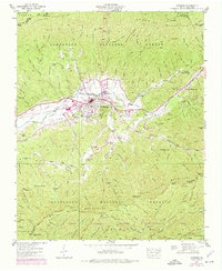
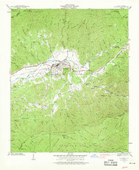
1938 Map of Andrews
USGS Topo · Published 1975About this map
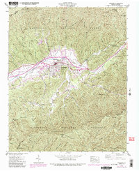
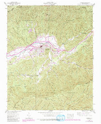
Andrews sits at the heart of the Valley River valley, a primary hub for commerce and transport in western North Carolina during the late 1930s. The town's industrial footprint is evidenced by the Southern Railway corridor and proximity to the State Prison Camp, while later revisions in 1973 introduce mid-century additions like the Drive-In Theater and the Andrews-Murphy Airfield. This landscape is bounded by the Snowbird Mountains to the north and the Valley River Mountains to the south, with much of the territory protected within the Nantahala National Forest. Smaller settlements like Valleytown and Hardin provide clues to early residential patterns, while landmarks such as Beaver Creek Ch and the Valley River Ch and Cem offer specific locations for genealogical research. The map captures a transition between the valley's agricultural roots and its modern infrastructure, including the development of the Fires Creek Wildlife Management Area in the south.
Find a feature on this map
97 named features on this map. Tap any name to fly to it.
Don’t see what you’re looking for? This feature index may not catch every label — zoom into the map to look around manually.
Map Details
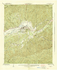
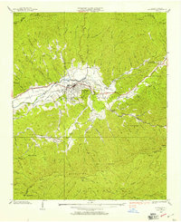
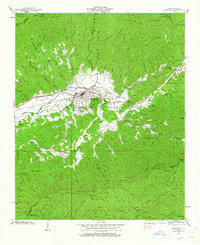
Editions of this 1938 Andrews Map
7 editions found
Other maps of this area

1933 · Bushnell
USGS Topo · 1:62,500

1935 · Peachtree
USGS Topo · 1:24,000

1935 · Robbinsville
USGS Topo · 1:24,000

1935 · Shooting Creek
USGS Topo · 1:24,000

1935 · Topton
USGS Topo · 1:24,000

1935 · Marble
USGS Topo · 1:24,000

1935 · Wayah Bald
USGS Topo · 1:48,000

1935 · Santeetlah Creek
USGS Topo · 1:24,000

1935 · Andrews
USGS Topo · 1:24,000
1935 · Hayesville
USGS Topo · 1:24,000