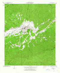
1938 Map of Andrews
USGS Topo · Published 1963About this map
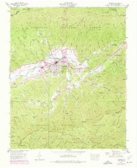
Andrews serves as the primary hub of this mountain valley, where the Southern railroad parallels the course of the valley floor through Valley Town. The landscape is defined by the proximity of the Snowbird Mountains to the north and the Valley River Mountains to the south, creating a constrained corridor for settlement and transit. This 1938 survey captures the area's infrastructure before major modern expansion, including a State Prison Camp and the industrial footprint of the Nantahala Power & Light Company.
Find a feature on this map
106 named features on this map. Tap any name to fly to it.
Don’t see what you’re looking for? This feature index may not catch every label — zoom into the map to look around manually.
Map Details
Editions of this 1938 Andrews Map
7 editions found
Other maps of this area

1933 · Bushnell
USGS Topo · 1:62,500

1935 · Peachtree
USGS Topo · 1:24,000

1935 · Robbinsville
USGS Topo · 1:24,000

1935 · Shooting Creek
USGS Topo · 1:24,000

1935 · Topton
USGS Topo · 1:24,000

1935 · Marble
USGS Topo · 1:24,000

1935 · Wayah Bald
USGS Topo · 1:48,000

1935 · Santeetlah Creek
USGS Topo · 1:24,000

1935 · Andrews
USGS Topo · 1:24,000
1935 · Hayesville
USGS Topo · 1:24,000