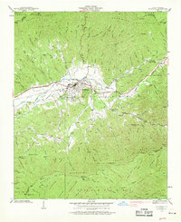
1938 Map of Andrews
USGS Topo · Published 1969About this map
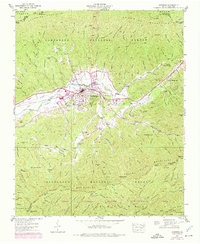
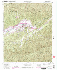
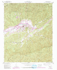
The town of Andrews serves as the hub of this 1938 survey, where the Southern Railway follows the course of the Valley River through the heart of Cherokee County. The landscape is defined by the surrounding peaks of the Snowbird Mountains and Tusquitee Mts, which contain numerous family-named landmarks like Wait Ridge and Phillips Ridge. Local life centers around rural institutions such as the Junaluska Sch and the Valley River Ch and Cem.
Find a feature on this map
97 named features on this map. Tap any name to fly to it.
Don’t see what you’re looking for? This feature index may not catch every label — zoom into the map to look around manually.
Map Details
Editions of this 1938 Andrews Map
7 editions found
Other maps of this area

1933 · Bushnell
USGS Topo · 1:62,500

1935 · Peachtree
USGS Topo · 1:24,000

1935 · Robbinsville
USGS Topo · 1:24,000

1935 · Shooting Creek
USGS Topo · 1:24,000

1935 · Topton
USGS Topo · 1:24,000

1935 · Marble
USGS Topo · 1:24,000

1935 · Wayah Bald
USGS Topo · 1:48,000

1935 · Santeetlah Creek
USGS Topo · 1:24,000

1935 · Andrews
USGS Topo · 1:24,000
1935 · Hayesville
USGS Topo · 1:24,000