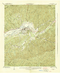
1938 Map of Andrews
USGS Topo · Published 1938About this map
The Valley River valley serves as the central corridor for the Southern railroad and community life in this 1938 survey of western North Carolina. The town of Andrews anchors the landscape, featuring a Hotel and proximity to a State Prison Camp along the riverbanks. High ridges of the Snowbird Mountains and Tusquitee Mountains hem in the valley, where smaller settlements like Valleytown and Ritter are situated. Local industry and infrastructure are represented by a Mill on Taylor Creek and the presence of the Nantahala Power & Light Company. For genealogists, the map identifies specific burial grounds including the Valley River Chand Cem and the Valleytown Cem. Extensive terrain labels like Granny Squirrel Gap and Big Peachtree Bald illustrate the complex geography of the Nantahala National Forest before modern development altered these mountain passes.
Find a feature on this map
94 named features on this map. Tap any name to fly to it.
Don’t see what you’re looking for? This feature index may not catch every label — zoom into the map to look around manually.
Map Details
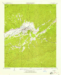
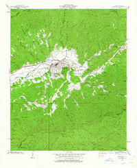
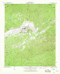
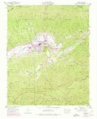
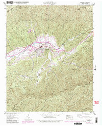
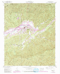
Editions of this 1938 Andrews Map
7 editions found
Other maps of this area

1933 · Bushnell
USGS Topo · 1:62,500

1935 · Peachtree
USGS Topo · 1:24,000

1935 · Robbinsville
USGS Topo · 1:24,000

1935 · Shooting Creek
USGS Topo · 1:24,000

1935 · Topton
USGS Topo · 1:24,000

1935 · Marble
USGS Topo · 1:24,000

1935 · Wayah Bald
USGS Topo · 1:48,000

1935 · Santeetlah Creek
USGS Topo · 1:24,000

1935 · Andrews
USGS Topo · 1:24,000
1935 · Hayesville
USGS Topo · 1:24,000