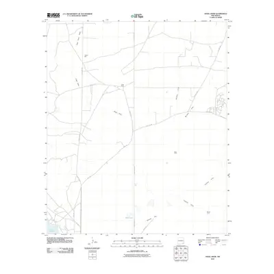
2010 Map of Angel Draw
USGS Topo · Published 2010About this map
Angel Ranch and Bates Ranch anchor a landscape defined by seasonal watercourses and expansive grazing lands north of Carlsbad. The terrain is marked by low ridges and wide flats, where Angel Draw and Palmilla Draw provide drainage toward the Pecos River valley. To the south, the presence of Lake Avalon and the seasonally dry basin of Alkali Lake indicate the area's vital relationship with local water management and natural catchments.
Find a feature on this map
20 named features on this map. Tap any name to fly to it.
Don’t see what you’re looking for? This feature index may not catch every label — zoom into the map to look around manually.
Map Details
Editions of this 2010 Angel Draw Map
This is the sole edition of this map. No revisions or reprints were ever made.
Other maps of this area

1939 · Carlsbad
USGS Topo · 1:62,500

1943 · Carlsbad
USGS Topo · 1:62,500

1943 · Oil City
USGS Topo · 1:62,500

1943 · West Carlsbad
USGS Topo · 1:62,500

1945 · West Carlsbad
USGS Topo · 1:62,500

1954 · Carlsbad
USGS Topo · 1:250,000

1955 · Lake Mc Millan North
USGS Topo · 1:24,000

1955 · Lake Mc Millan South
USGS Topo · 1:24,000

1958 · Carlsbad
USGS Topo · 1:250,000

1978 · Artesia
USGS Topo · 1:100,000