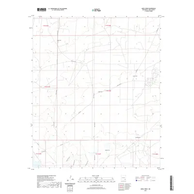
2020 Map of Angel Draw
USGS Topo · Published 2020About this map
Alkali Lake sits as a central hydrological feature in this arid landscape of Eddy County, surrounded by a network of ranching roads and shifting terrain. The area is defined by significant depressions and drainage features, most notably Angel Draw and Scanlon Draw, which carve through the high plains. Large alluvial expanses like Burton Flat and Saladar Flat indicate the geological character of this region, where water movement is seasonal and dramatic.
Find a feature on this map
21 named features on this map. Tap any name to fly to it.
Don’t see what you’re looking for? This feature index may not catch every label — zoom into the map to look around manually.
Map Details
Editions of this 2020 Angel Draw Map
This is the sole edition of this map. No revisions or reprints were ever made.
Other maps of this area

1939 · Carlsbad
USGS Topo · 1:62,500

1943 · Carlsbad
USGS Topo · 1:62,500

1943 · Oil City
USGS Topo · 1:62,500

1943 · West Carlsbad
USGS Topo · 1:62,500

1945 · West Carlsbad
USGS Topo · 1:62,500

1954 · Carlsbad
USGS Topo · 1:250,000

1955 · Lake Mc Millan North
USGS Topo · 1:24,000

1955 · Lake Mc Millan South
USGS Topo · 1:24,000

1958 · Carlsbad
USGS Topo · 1:250,000

1978 · Artesia
USGS Topo · 1:100,000