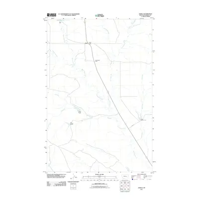
2011 Map of Angela
USGS Topo · Published 2011About this map
Angela sits at a crossroads in the Rosebud County rangeland, defined by a sparse but vital network of water management features and intermittent drainage. The Angela Post Office serves as the primary landmark for this rural community, situated along a route that connects the northern plains to southern hubs. The landscape is marked by the presence of numerous engineered water catchments, including the Boies Reservoir and several numbered structures such as McRae Number 1 Dam, Hook Number 70 Dam, and Fillafer Number 1 Dam, reflecting the necessity of water storage in this arid environment. Natural landmarks like Steamboat Rock rise above the drainage basins of North Sunday Creek and Dry House Creek. To the northeast, Fulton Spring and Fulton Creek provide further evidence of the localized water sources that have historically supported ranching and transit through this part of Montana.
Find a feature on this map
17 named features on this map. Tap any name to fly to it.
Don’t see what you’re looking for? This feature index may not catch every label — zoom into the map to look around manually.
Map Details
Editions of this 2011 Angela Map
This is the sole edition of this map. No revisions or reprints were ever made.
Other maps of this area

1954 · Forsyth
USGS Topo · 1:250,000

1957 · Forsyth
USGS Topo · 1:250,000

1958 · Forsyth
USGS Topo · 1:250,000

1965 · Rock Springs School
USGS Topo · 1:24,000
1965 · Red Buttes
USGS Topo · 1:24,000
1965 · Crow Rock SE
USGS Topo · 1:24,000
1969 · Angela NE
USGS Topo · 1:24,000

1969 · Wild Horse Pass SE
USGS Topo · 1:24,000
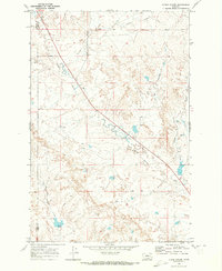
1969 · N Bar Coulee
USGS Topo · 1:24,000
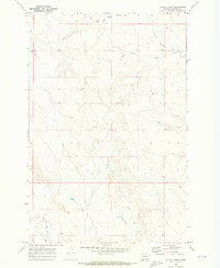
1969 · Alkali Creek
USGS Topo · 1:24,000