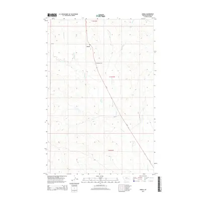
2014 Map of Angela
USGS Topo · Published 2014About this map
The Angela settlement and its local Po serve as the central anchor for this ranching landscape in Rosebud County, where human activity follows the path of MT-59. The terrain is defined by a complex drainage system that feeds into N Sunday Cr and Rock Springs Cr, revealing the natural corridors that likely dictated early travel and land use. The presence of Fulton Spring and distinctive landmarks like Steamboat Rock provided essential navigation points for homesteaders and travelers across these northern plains. Local thoroughfares, such as Mcrae Rd and Road 203, connect the scattered townships, illustrating the sparse but deliberate layout of eastern Montana’s cattle country. The numerous creek labels, including the colorfully named Dirty Woman Cr, suggest a land where water sources were the primary descriptors of place.
Find a feature on this map
19 named features on this map. Tap any name to fly to it.
Don’t see what you’re looking for? This feature index may not catch every label — zoom into the map to look around manually.
Map Details
Editions of this 2014 Angela Map
This is the sole edition of this map. No revisions or reprints were ever made.
Other maps of this area

1954 · Forsyth
USGS Topo · 1:250,000

1957 · Forsyth
USGS Topo · 1:250,000

1958 · Forsyth
USGS Topo · 1:250,000

1965 · Rock Springs School
USGS Topo · 1:24,000
1965 · Red Buttes
USGS Topo · 1:24,000
1965 · Crow Rock SE
USGS Topo · 1:24,000
1969 · Angela NE
USGS Topo · 1:24,000

1969 · Wild Horse Pass SE
USGS Topo · 1:24,000
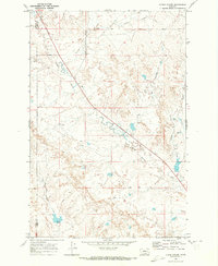
1969 · N Bar Coulee
USGS Topo · 1:24,000
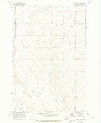
1969 · Alkali Creek
USGS Topo · 1:24,000