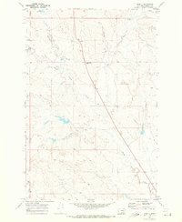
1969 Map of Angela
USGS Topo · Published 1973About this map
The settlement of Angela anchors this Montana landscape, situated along a lonely road between Miles City and Jordan. Surveyed in the late 1960s, the map reveals a remote ranching environment defined by intermittent watercourses and scattered landmarks. Trinity Church stands near the northern boundary, serving as a vital community focal point in an area where long distances separate neighbors. The terrain is marked by distinctive formations like Steamboat Rock, while life in this arid region revolves around reliable water sources such as Fulton Spring and the Boies Reservoir. The intricate network of drainage systems, including Dirty Woman Creek and North Sunday Creek, illustrates the complex topography that dictates the placement of roads and homesteads. These details offer a clear view of Rosebud County before further modern development, highlighting the spatial relationships of a high plains community reliant on its natural springs and seasonal creeks.
Find a feature on this map
16 named features on this map. Tap any name to fly to it.
Don’t see what you’re looking for? This feature index may not catch every label — zoom into the map to look around manually.
Map Details
Editions of this 1969 Angela Map
This is the sole edition of this map. No revisions or reprints were ever made.
Other maps of this area

1954 · Forsyth
USGS Topo · 1:250,000

1957 · Forsyth
USGS Topo · 1:250,000

1958 · Forsyth
USGS Topo · 1:250,000

1965 · Rock Springs School
USGS Topo · 1:24,000
1965 · Red Buttes
USGS Topo · 1:24,000
1965 · Crow Rock SE
USGS Topo · 1:24,000
1969 · Angela NE
USGS Topo · 1:24,000

1969 · Wild Horse Pass SE
USGS Topo · 1:24,000
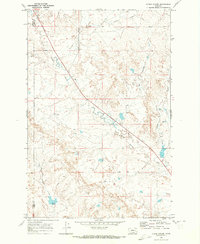
1969 · N Bar Coulee
USGS Topo · 1:24,000
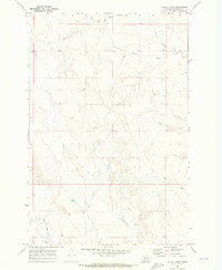
1969 · Alkali Creek
USGS Topo · 1:24,000