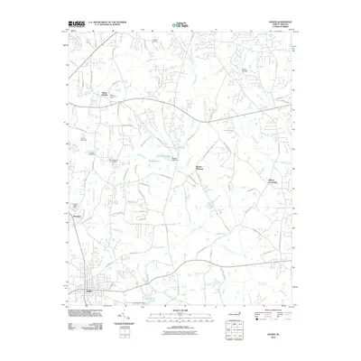
2010 Map of Angier
USGS Topo · Published 2010About this map
The Willow Spring Post Office and the surrounding community of Willow Springs anchor the northern landscape of this North Carolina quadrangle. Moving south toward the Harnett County line, the terrain is defined by the headwaters of the Black River and a dense network of local roads such as Old Stage Rd and Barber Bridge Rd that link small settlements. The area shows a distinct transition from the agricultural and rural character of Mount Pleasant and Ogburn Crossroads to the more concentrated development near Angier.
Find a feature on this map
79 named features on this map. Tap any name to fly to it.
Don’t see what you’re looking for? This feature index may not catch every label — zoom into the map to look around manually.
Map Details
Editions of this 2010 Angier Map
This is the sole edition of this map. No revisions or reprints were ever made.
Other maps of this area

1953 · Raleigh
USGS Topo · 1:250,000

1954 · Raleigh
USGS Topo · 1:250,000

1964 · Lake Wheeler
USGS Topo · 1:24,000

1964 · Garner
USGS Topo · 1:24,000

1964 · Angier
USGS Topo · 1:24,000

1964 · Edmondson
USGS Topo · 1:24,000

1964 · Garner
USGS Topo · 1:62,500

1973 · Benson
USGS Topo · 1:24,000

1973 · Coats
USGS Topo · 1:24,000

1974 · Apex
USGS Topo · 1:24,000