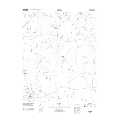
2013 Map of Angier
USGS Topo · Published 2013About this map
Angier serves as the southern anchor of this landscape, where the street grid organizes around W Broad St E and E McIver St. The geography is defined by a dendritic network of creeks including Terrible Cr, Middle Cr, and Little Black Cr that drain the Piedmont terrain into the Black River. Local aviation is represented by two small airstrips, Triple W Airport and Fuquay-Angier Field Airport, indicating the low-density, rural-residential character of the region.
Find a feature on this map
38 named features on this map. Tap any name to fly to it.
Don’t see what you’re looking for? This feature index may not catch every label — zoom into the map to look around manually.
Map Details
Editions of this 2013 Angier Map
This is the sole edition of this map. No revisions or reprints were ever made.
Other maps of this area

1953 · Raleigh
USGS Topo · 1:250,000

1954 · Raleigh
USGS Topo · 1:250,000

1964 · Lake Wheeler
USGS Topo · 1:24,000

1964 · Garner
USGS Topo · 1:24,000

1964 · Angier
USGS Topo · 1:24,000

1964 · Edmondson
USGS Topo · 1:24,000

1964 · Garner
USGS Topo · 1:62,500

1973 · Benson
USGS Topo · 1:24,000

1973 · Coats
USGS Topo · 1:24,000

1974 · Apex
USGS Topo · 1:24,000