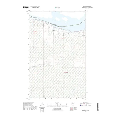
2019 Map of Angle Inlet
USGS Topo · Published 2019About this map
Angle Inlet is the northernmost settlement in the contiguous United States, situated along the international border with Canada in Lake of the Woods County. The landscape is dominated by the vast Caribou Bog and Sevenmile Swamp, with the village itself clustered near the Northwest Angle Inlet and the Po. The local road network, including Airfield Rd NW and Young's Bay Dr NW, supports a small community reliant on the surrounding waters of Lake of the Woods. Numerous small drainages like Pine Cr and Stony Cr move through the low-lying, wetland terrain. This geography creates a unique enclave where terrestrial access to the rest of Minnesota requires crossing through Manitoba, a detail reflected in the prominent boundary line separating the United States of America from Canada along the top of the sheet.
Find a feature on this map
23 named features on this map. Tap any name to fly to it.
Don’t see what you’re looking for? This feature index may not catch every label — zoom into the map to look around manually.
Map Details
Editions of this 2019 Angle Inlet Map
This is the sole edition of this map. No revisions or reprints were ever made.
Other maps of this area
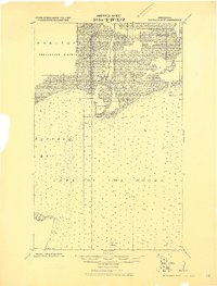
1918 · Buffalo Bay
USGS Topo · 1:62,500
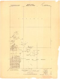
1918 · Oak Island
USGS Topo · 1:62,500
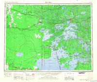
1963 · Kenora
USGS Topo · 1:250,000
1967 · Flag Island
USGS Topo · 1:24,000
1967 · Buffalo Bay NW
USGS Topo · 1:24,000
1967 · Garden Island West
USGS Topo · 1:24,000
1967 · Buffalo Bay NE
USGS Topo · 1:24,000
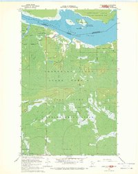
1967 · Angle Inlet
USGS Topo · 1:24,000
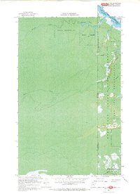
1967 · Angle Inlet SW
USGS Topo · 1:24,000
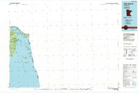
1985 · Oak Island
USGS Topo · 1:100,000