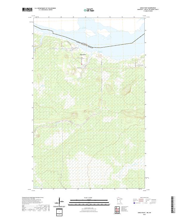
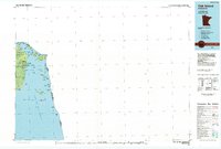
2022 Map of Angle Inlet
USGS Topo · Published 2022About this map
Angle Inlet serves as the primary settlement on this remote Minnesota landscape, situated at the northernmost point of the contiguous United States. Bordered to the north by the international boundary between Canada and the United States Of America, the region is defined by the expansive waters of Lake of the Woods and a labyrinth of wetlands. Significant geographic features include the massive Caribou Bog and the Sevenmile Swamp, which dominate the interior terrain south of the inlet. Local infrastructure is concentrated around the inlet and the Northwest Angle Inlet, where a network of roads such as Airfield Rd NW and Young's Bay Dr NW connect the community. The presence of a Po and the clustering of local drives like Nelson Dr NW and Inlet Dr NW reflect a small but established frontier community navigating a landscape of creeks including Crow Cr and Pine Cr.
Find a feature on this map
25 named features on this map. Tap any name to fly to it.
Don’t see what you’re looking for? This feature index may not catch every label — zoom into the map to look around manually.
Map Details
Editions of this 2022 Angle Inlet Map
This is the sole edition of this map. No revisions or reprints were ever made.
Other maps of this area

1918 · Buffalo Bay
USGS Topo · 1:62,500
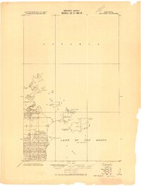
1918 · Oak Island
USGS Topo · 1:62,500

1963 · Kenora
USGS Topo · 1:250,000
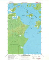
1967 · Flag Island
USGS Topo · 1:24,000
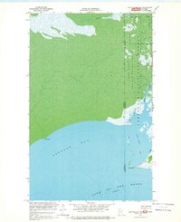
1967 · Buffalo Bay NW
USGS Topo · 1:24,000
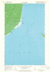
1967 · Garden Island West
USGS Topo · 1:24,000
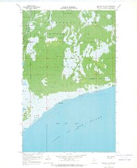
1967 · Buffalo Bay NE
USGS Topo · 1:24,000
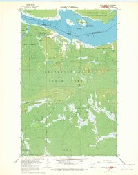
1967 · Angle Inlet
USGS Topo · 1:24,000
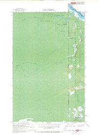
1967 · Angle Inlet SW
USGS Topo · 1:24,000
1985 · Oak Island
USGS Topo · 1:100,000