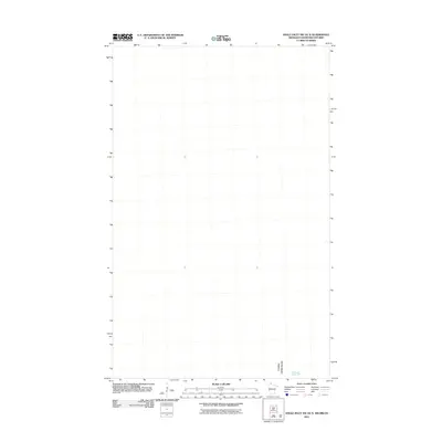
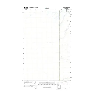
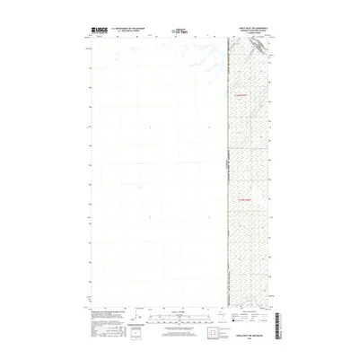
2011 Map of Angle Inlet SW OE N
USGS Topo · Published 2011About this map
The international border between the Canada and the United States defines the southern boundary of this specific map area, highlighting one of the most unique geographic anomalies in North America. Situated within the Lake of the Woods region, the map documents a portion of the Northwest Angle, where the Northwest Angle Inlet serves as a critical waterway. Produced by the U.S. Geological Survey in 2011, this sheet focuses on the aquatic and geopolitical interface where the Minnesota border meets the Canadian province of Ontario. The lack of interior labels reflects the primarily open-water nature of this particular quadrant, making it an essential reference for understanding the precise maritime boundaries and coordinates that isolate this American exclave from the contiguous United States.
Find a feature on this map
2 named features on this map. Tap any name to fly to it.
Don’t see what you’re looking for? This feature index may not catch every label — zoom into the map to look around manually.
Map Details
Editions of this 2011 Angle Inlet SW OE N Map
This is the sole edition of this map. No revisions or reprints were ever made.
Other maps of this area

1963 · Kenora
USGS Topo · 1:250,000
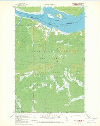
1967 · Angle Inlet
USGS Topo · 1:24,000
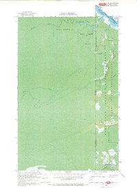
1967 · Angle Inlet SW
USGS Topo · 1:24,000
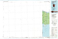
1985 · Angle Inlet
USGS Topo · 1:100,000
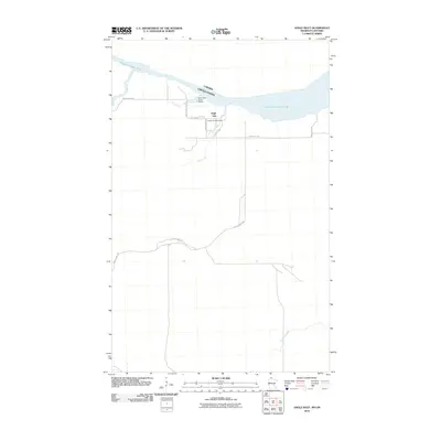
2010 · Angle Inlet
USGS Topo · 1:24,000
2011 · Angle Inlet SW
USGS Topo · 1:24,000
2013 · Angle Inlet SW OE N
USGS Topo · 1:24,000
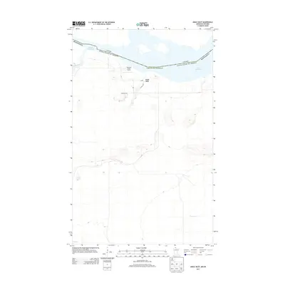
2013 · Angle Inlet
USGS Topo · 1:24,000
2013 · Angle Inlet SW
USGS Topo · 1:24,000
2016 · Angle Inlet SW
USGS Topo · 1:24,000