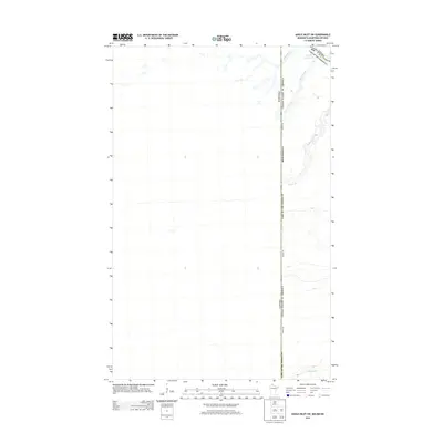
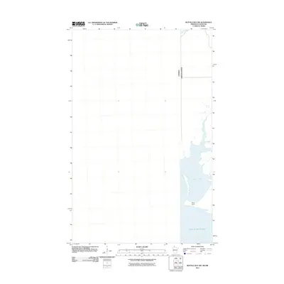
2013 Map of Angle Inlet SW
USGS Topo · Published 2013About this map
Lake of the Woods and its northern drainage systems define this borderland geography, where the international boundary between Canada and the United States slices through a landscape of wetlands and winding waterways. This 2013 survey of the Northwest Angle region illustrates the unique connectivity of the area, notably the Winter Rd which serves as a seasonal lifeline through the low-lying terrain. The map traces the winding paths of Bear Creek and Poplar Cr as they flow toward the expansive lake. A significant portion of the sheet is dedicated to the jurisdictional division between Minnesota's Lake of the Woods Co and the Canadian territory, highlighting the intricate political geography of one of the most northern points in the lower 48 states.
Find a feature on this map
11 named features on this map. Tap any name to fly to it.
Don’t see what you’re looking for? This feature index may not catch every label — zoom into the map to look around manually.
Map Details
Editions of this 2013 Angle Inlet SW Map
This is the sole edition of this map. No revisions or reprints were ever made.
Other maps of this area

1918 · Buffalo Bay
USGS Topo · 1:62,500

1963 · Kenora
USGS Topo · 1:250,000
1967 · Buffalo Bay NW
USGS Topo · 1:24,000
1967 · Buffalo Bay NE
USGS Topo · 1:24,000
1967 · Angle Inlet
USGS Topo · 1:24,000
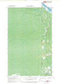
1967 · Angle Inlet SW
USGS Topo · 1:24,000
1985 · Angle Inlet
USGS Topo · 1:100,000
2010 · Buffalo Bay NE
USGS Topo · 1:24,000
2010 · Angle Inlet
USGS Topo · 1:24,000
2011 · Buffalo Bay NW
USGS Topo · 1:24,000