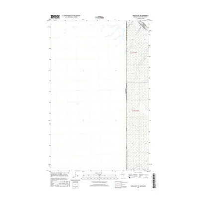
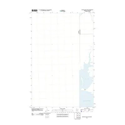
2016 Map of Angle Inlet SW
USGS Topo · Published 2016About this map
The international border between the United States and Canada defines this remote stretch of the North Woods, where the boundary separates Lake of the Woods County, Minnesota, from the Kenora District of Ontario. This landscape is dominated by the sprawling Sevenmile Swamp, a significant wetland feature that shapes the local hydrology and dictates the limited transport routes through the region. The primary terrestrial corridor is the Winter Rd, which runs north-south along the western edge of the American side, providing seasonal access through the saturated terrain. Several small waterways, including Bear Creek in the north and Stony Cr further south, drain the wetlands toward the east. This survey captures a specific intersection of international boundaries and natural barriers, documenting a place where human activity is closely constrained by the environment.
Find a feature on this map
9 named features on this map. Tap any name to fly to it.
Don’t see what you’re looking for? This feature index may not catch every label — zoom into the map to look around manually.
Map Details
Editions of this 2016 Angle Inlet SW Map
This is the sole edition of this map. No revisions or reprints were ever made.
Other maps of this area

1918 · Buffalo Bay
USGS Topo · 1:62,500

1963 · Kenora
USGS Topo · 1:250,000
1967 · Buffalo Bay NW
USGS Topo · 1:24,000
1967 · Buffalo Bay NE
USGS Topo · 1:24,000
1967 · Angle Inlet
USGS Topo · 1:24,000
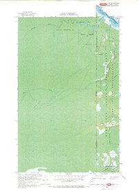
1967 · Angle Inlet SW
USGS Topo · 1:24,000
1985 · Angle Inlet
USGS Topo · 1:100,000
2010 · Buffalo Bay NE
USGS Topo · 1:24,000
2010 · Angle Inlet
USGS Topo · 1:24,000
2011 · Buffalo Bay NW
USGS Topo · 1:24,000