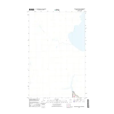
2016 Map of Angle Inlet SW OE N
USGS Topo · Published 2016About this map
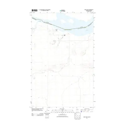
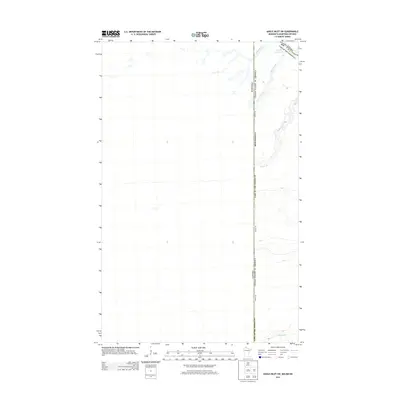
Lake of the Woods Co occupies the lower right corner of this survey, where the international boundary between Canada and the USA defines the remote northern landscape. The map focuses on a transitional water-and-land corridor where the Minnesota Winter Rd provides a vital transportation link through the border region. This particular section, identified by township and range coordinates 15 t168n r35w, illustrates the precise surveying of the Northwest Angle, a unique geographic exclave where international boundaries intersect with complex waterways and seasonal overland routes.
Find a feature on this map
4 named features on this map. Tap any name to fly to it.
Don’t see what you’re looking for? This feature index may not catch every label — zoom into the map to look around manually.
Map Details
Editions of this 2016 Angle Inlet SW OE N Map
This is the sole edition of this map. No revisions or reprints were ever made.
Other maps of this area

1963 · Kenora
USGS Topo · 1:250,000
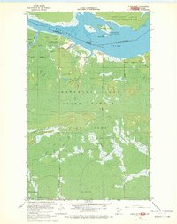
1967 · Angle Inlet
USGS Topo · 1:24,000
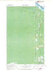
1967 · Angle Inlet SW
USGS Topo · 1:24,000
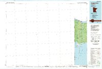
1985 · Angle Inlet
USGS Topo · 1:100,000
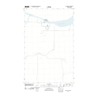
2010 · Angle Inlet
USGS Topo · 1:24,000
2011 · Angle Inlet SW OE N
USGS Topo · 1:24,000
2011 · Angle Inlet SW
USGS Topo · 1:24,000
2013 · Angle Inlet SW OE N
USGS Topo · 1:24,000
2013 · Angle Inlet
USGS Topo · 1:24,000
2013 · Angle Inlet SW
USGS Topo · 1:24,000