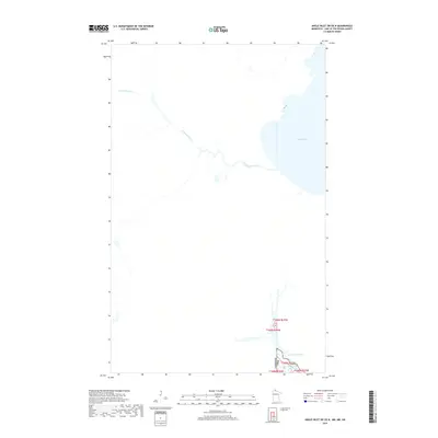
2019 Map of Angle Inlet SW OE N
USGS Topo · Published 2019About this map
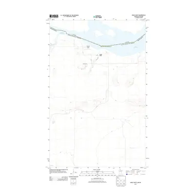
The international boundary between Canada and the USA defines the southern portion of this landscape, cutting across the watery transition from the Northwest Angle Inlet to the expansive Lake of the Woods. This 2019 survey documents a unique geographical curiosity where American territory exists north of the 49th parallel, dominated by the hydrology of Shoal Lake and the winding course of Powawassan Creek. The terrain is largely defined by its intricate shoreline and northern wetlands, reflecting the complex water systems that dictate the border's path. While the southern portion of the map traces the United States boundary line through t168n r35w, the vast majority of the sheet covers the remote northern reaches of the Kenora District, where Powawassan Creek meanders toward the larger lake system.
Find a feature on this map
7 named features on this map. Tap any name to fly to it.
Don’t see what you’re looking for? This feature index may not catch every label — zoom into the map to look around manually.
Map Details
Editions of this 2019 Angle Inlet SW OE N Map
This is the sole edition of this map. No revisions or reprints were ever made.
Other maps of this area

1963 · Kenora
USGS Topo · 1:250,000
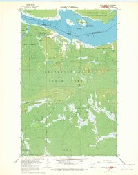
1967 · Angle Inlet
USGS Topo · 1:24,000
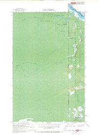
1967 · Angle Inlet SW
USGS Topo · 1:24,000
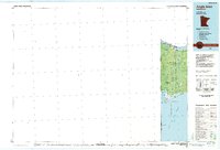
1985 · Angle Inlet
USGS Topo · 1:100,000
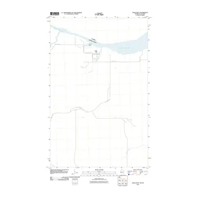
2010 · Angle Inlet
USGS Topo · 1:24,000
2011 · Angle Inlet SW OE N
USGS Topo · 1:24,000
2011 · Angle Inlet SW
USGS Topo · 1:24,000
2013 · Angle Inlet SW OE N
USGS Topo · 1:24,000
2013 · Angle Inlet
USGS Topo · 1:24,000
2013 · Angle Inlet SW
USGS Topo · 1:24,000