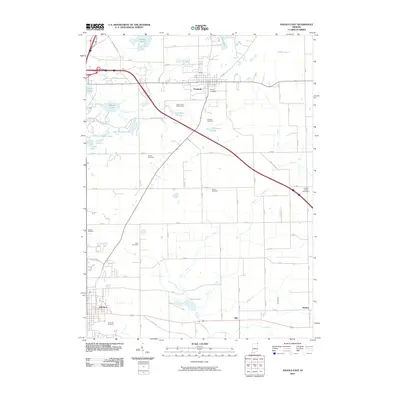
2010 Map of Angola East
USGS Topo · Published 2010About this map
Angola and Fremont anchor this northeastern Indiana landscape, where the glacial legacy is evident in the dense concentration of kettle lakes and wetlands. The drainage pattern is defined by Pigeon Creek and Follette Creek, which feed into numerous water bodies like Marsh Lake, Seven Sisters Lakes, and Failing Lake. Agricultural heritage is reflected in an extensive network of drainage systems, including Ryan Ditch, Metz DITCH, and Goodale Ditch, which helped reclaim the low-lying terrain for farming. Genealogists will find a significant concentration of burial grounds, from the large Circle Hill Cemetery in the southwest to the descriptively named The Old Cemetery and Lakeside Cemetery near the northern settlements. The map also captures the local sporting culture at the Steuben County Speedway and the recreation areas surrounding Eaton Lake and the Eaton Creek Golf Course.
Find a feature on this map
60 named features on this map. Tap any name to fly to it.
Don’t see what you’re looking for? This feature index may not catch every label — zoom into the map to look around manually.
Map Details
Editions of this 2010 Angola East Map
This is the sole edition of this map. No revisions or reprints were ever made.
Other maps of this area

1939 · Hamilton
USGS Topo · 1:24,000

1939 · Angola East
USGS Topo · 1:24,000

1939 · Clear Lake
USGS Topo · 1:24,000

1940 · Metz
USGS Topo · 1:24,000

1940 · Clear Lake
USGS Topo · 1:24,000

1941 · Angola West
USGS Topo · 1:24,000

1942 · Ashley
USGS Topo · 1:24,000

1942 · Angola West
USGS Topo · 1:24,000

1947 · Angola East
USGS Topo · 1:24,000

1948 · Hamilton
USGS Topo · 1:24,000