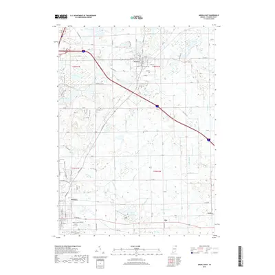
2019 Map of Angola East
USGS Topo · Published 2019About this map
Angola and Fremont anchor this northeastern Indiana landscape, where the glacial geology of Steuben County is expressed through a dense network of kettle lakes and complex drainage ditches. The area between these two settlements is marked by distinctive water bodies such as Seven Sisters Lakes, Marsh Lake, and the large Pigeon Lake situated near Pigeon Airport. This region is particularly rich in genealogical sites, featuring numerous rural burial grounds including The Old Cem, Lakeside Cem, and the Hill Cem located just east of the city center. An intricate system of water management is visible through named waterways like Goodale Ditch, Metz Ditch, and Eatinger Ditch, which crisscross the agricultural tracts and small settlements like Ellis and Berlien. Recreational trails, including the Angola Pedestrian/Bicycle Trailway and the Ralph H. Martin Walkway, signify the modernization of the landscape around the historic county seat.
Find a feature on this map
112 named features on this map. Tap any name to fly to it.
Don’t see what you’re looking for? This feature index may not catch every label — zoom into the map to look around manually.
Map Details
Editions of this 2019 Angola East Map
This is the sole edition of this map. No revisions or reprints were ever made.
Other maps of this area

1939 · Hamilton
USGS Topo · 1:24,000

1939 · Angola East
USGS Topo · 1:24,000

1939 · Clear Lake
USGS Topo · 1:24,000

1940 · Metz
USGS Topo · 1:24,000

1940 · Clear Lake
USGS Topo · 1:24,000

1941 · Angola West
USGS Topo · 1:24,000

1942 · Ashley
USGS Topo · 1:24,000

1942 · Angola West
USGS Topo · 1:24,000

1947 · Angola East
USGS Topo · 1:24,000

1948 · Hamilton
USGS Topo · 1:24,000