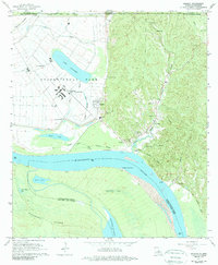
1965 Map of Angola
USGS Topo · Published 1989About this map
The Louisiana State Penitentiary and the associated State Penal Farm dominate the lowlands of West Feliciana Parish, situated within a sharp bend of the Mississippi River. The complex at Angola is depicted in detail, showing the hospital, pumping station, and the grid of the State Penal Farm bounded by an extensive levee system. To the east, the terrain rises sharply into the loess bluffs of the Tunica Hills, where smaller communities like Tunica and Brake are found alongside numerous country churches and family burial grounds.
Find a feature on this map
48 named features on this map. Tap any name to fly to it.
Don’t see what you’re looking for? This feature index may not catch every label — zoom into the map to look around manually.
Map Details
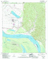
Editions of this 1965 Angola Map
2 editions found
Other maps of this area

1906 · Bayou Sara
USGS Topo · 1:125,000

1936 · Woodville
USGS Topo · 1:62,500

1939 · St. Francisville
USGS Topo · 1:62,500

1939 · Artonish
USGS Topo · 1:62,500

1941 · Batchelor
USGS Topo · 1:62,500

1953 · Natchez
USGS Topo · 1:250,000

1954 · Artonish
USGS Topo · 1:62,500

1954 · Baton Rouge
USGS Topo · 1:250,000

1955 · Artonish
USGS Topo · 1:62,500

1955 · Batchelor
USGS Topo · 1:62,500