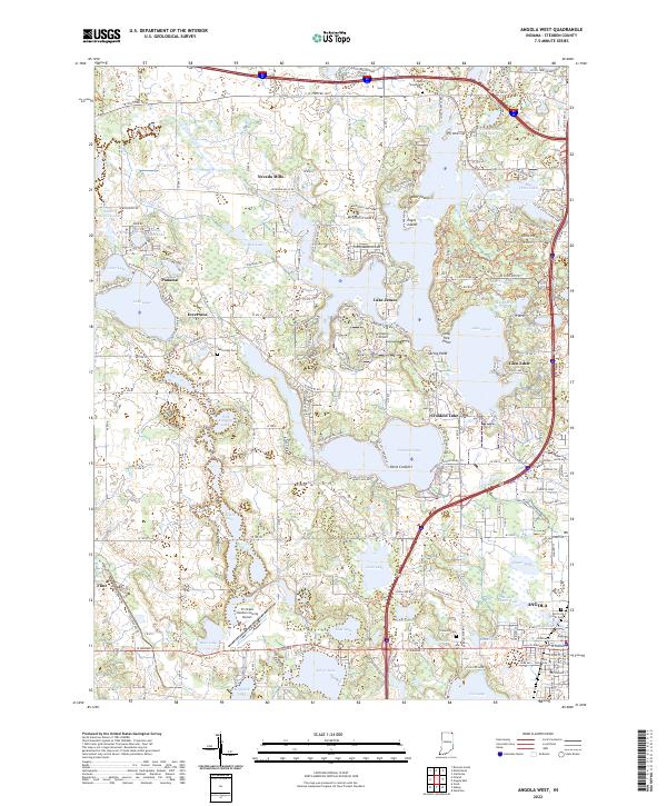
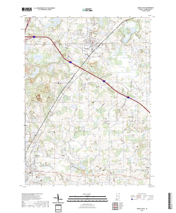
2022 Map of Angola West
USGS Topo · Published 2022About this map
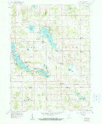
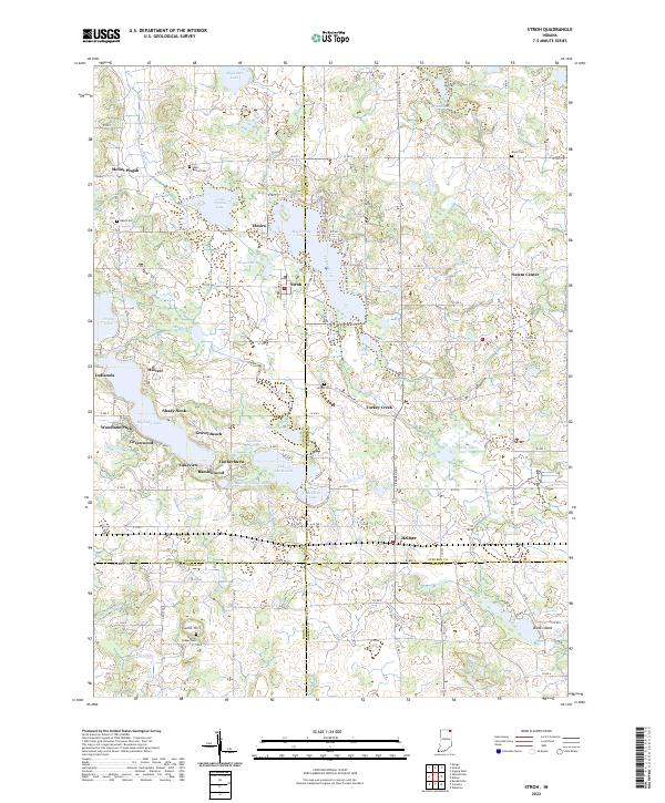
The glacial lakes of Steuben County dominate this landscape, where Lake James and Snow Lake create a complex network of peninsulas and points. Angola serves as the regional anchor in the southeast, characterized by its academic center at Trine University and the prominent Old Circle Hill Cem. This corner of Indiana is defined by its water-dependent settlements and summer colonies like Point Comfort, Spring Point, and Glen Eden.
Find a feature on this map
98 named features on this map. Tap any name to fly to it.
Don’t see what you’re looking for? This feature index may not catch every label — zoom into the map to look around manually.
Map Details
Editions of this 2022 Angola West Map
This is the sole edition of this map. No revisions or reprints were ever made.
Historical Maps of Jamestown Through Time
15 maps found
1939 Angola East
Steuben County, IN
1940 Metz
Steuben County, IN
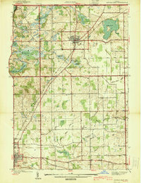
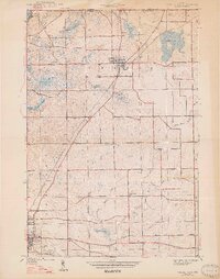
1941 Angola West
Steuben County, IN

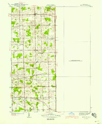
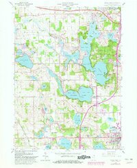
1942 Angola West
Steuben County, IN

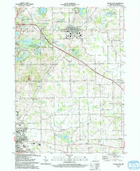
1942 Stroh
Steuben County, IN
1947 Angola East
Steuben County, IN
1959 Stroh
Steuben County, IN
1960 Angola East
Steuben County, IN
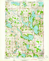
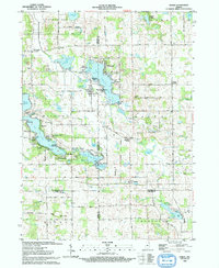
1960 Angola West
Steuben County, IN
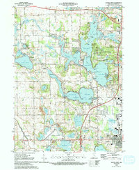
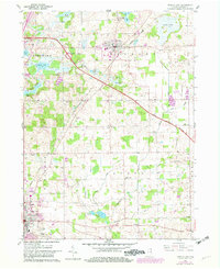
1992 Angola West
Steuben County, IN
1993 Angola East
Steuben County, IN
1993 Stroh
Steuben County, IN
2022 Angola East
Steuben County, IN
2022 Angola West
Steuben County, IN
2022 Stroh
Steuben County, IN