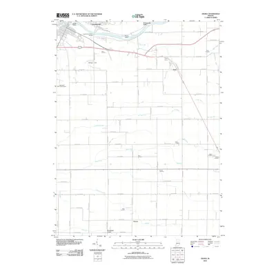
2010 Map of Anoka
USGS Topo · Published 2010About this map
The Wabash River meanders through the northern section of this territory, framing river features like Biddle Island and Potawatomi Point as it flows past the outskirts of Logansport. This landscape is defined by a dense network of drainage ditches such as Helvie Ditch and Bohn Ditch, illustrating the intensive agricultural engineering required to manage the Indiana plains. Small crossroads communities and family-named points like Anoka, Deacon, and Poundstone Corner are scattered throughout the quadrangle, connected by a rigid grid of county roads. For genealogists, the map is particularly detailed regarding local burial sites, featuring numerous small grounds including Taber Cemetery, Shaff Cemetery, and Bruner Cemetery. The presence of the Logansport Municipal Airport and the Eighteenth Street Bridge highlights the area's role as a regional transit hub in the modern era.
Find a feature on this map
50 named features on this map. Tap any name to fly to it.
Don’t see what you’re looking for? This feature index may not catch every label — zoom into the map to look around manually.
Map Details
Editions of this 2010 Anoka Map
This is the sole edition of this map. No revisions or reprints were ever made.
Other maps of this area

1951 · Onward
USGS Topo · 1:24,000

1951 · Twelve Mile
USGS Topo · 1:24,000

1953 · Danville
USGS Topo · 1:250,000

1955 · Danville
USGS Topo · 1:250,000

1955 · Logansport
USGS Topo · 1:24,000

1955 · Anoka
USGS Topo · 1:24,000

1956 · Danville
USGS Topo · 1:250,000

1959 · Galveston
USGS Topo · 1:24,000

1959 · Young America
USGS Topo · 1:24,000

1960 · Lucerne
USGS Topo · 1:24,000