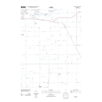
2013 Map of Anoka
USGS Topo · Published 2013About this map
The Wabash River serves as the primary northern boundary of this Cass County landscape, winding past Biddle Island and Kienly Island near the city of Logansport. The river’s path is marked by features like Potawatomi Point and the Eighteenth Street Bridge, while the interior terrain rises toward Morgan Hill. This area is defined by a dense network of agricultural drainage channels, including the extensive Ansberry Bird Ditch, Helvie Ditch, and Dry Run Ditch, which underscore the region's managed hydrology and farming history.
Find a feature on this map
71 named features on this map. Tap any name to fly to it.
Don’t see what you’re looking for? This feature index may not catch every label — zoom into the map to look around manually.
Map Details
Editions of this 2013 Anoka Map
This is the sole edition of this map. No revisions or reprints were ever made.
Other maps of this area

1951 · Onward
USGS Topo · 1:24,000

1951 · Twelve Mile
USGS Topo · 1:24,000

1953 · Danville
USGS Topo · 1:250,000

1955 · Danville
USGS Topo · 1:250,000

1955 · Logansport
USGS Topo · 1:24,000

1955 · Anoka
USGS Topo · 1:24,000

1956 · Danville
USGS Topo · 1:250,000

1959 · Galveston
USGS Topo · 1:24,000

1959 · Young America
USGS Topo · 1:24,000

1960 · Lucerne
USGS Topo · 1:24,000