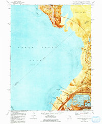
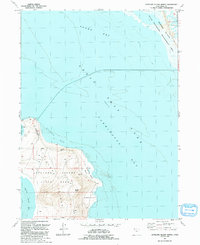
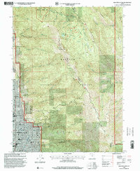
2023 Map of Antelope Island South
USGS Topo · Published 2023About this map
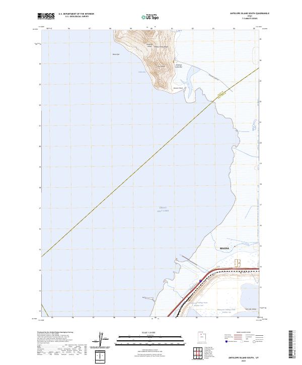
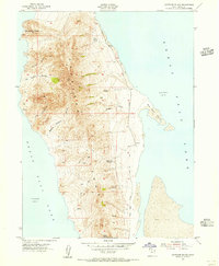
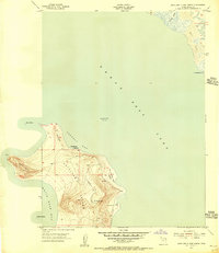
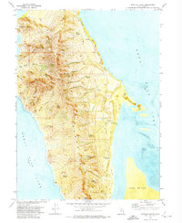
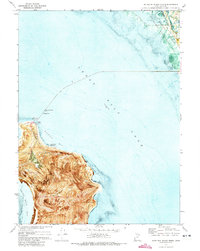
Great Salt Lake dominates this 2023 survey, illustrating the stark interface between the industrial developments of the Salt Lake Valley and the protected terrain of Antelope Island. In the south, the settlement of Magna sits adjacent to the massive infrastructure of Kennecott Tailings Pond Number One and Kennecott Tailings Pond Number Two, revealing the scale of modern mineral processing at the lake's edge. To the north, the map details the southern terminus of Antelope Island, where topographical features like Daddy Stump Ridge and Garr Knolls rise above the shoreline. The transition from the urban-industrial corridor along W North Temple St to the isolated environments of Unicorn Point and Indian Bay highlights the diverse use of this shoreline, while the Davis and Salt Lake county line cuts diagonally across the open water.
Find a feature on this map
17 named features on this map. Tap any name to fly to it.
Don’t see what you’re looking for? This feature index may not catch every label — zoom into the map to look around manually.
Map Details
Editions of this 2023 Antelope Island South Map
This is the sole edition of this map. No revisions or reprints were ever made.
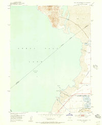
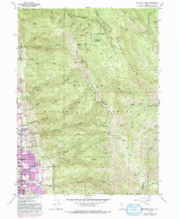
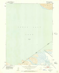
Historical Maps of Magna Through Time
25 maps found
1952 Antelope Island South
Davis County, UT
1952 Bountiful Peak
Davis County, UT
1952 Saltair NE
Davis County, UT
1954 Antelope Island
Davis County, UT
1954 Antelope Island North
Davis County, UT

1968 Fremont Island SW
Davis County, UT
1972 Antelope Island
Davis County, UT
1972 Antelope Island North
Davis County, UT
1972 Antelope Island South
Davis County, UT
1972 Buffalo Point
Davis County, UT
1972 Plug Peak NE
Davis County, UT
1972 Saltair NE
Davis County, UT
1991 Antelope Island North
Davis County, UT
1991 Buffalo Point
Davis County, UT
1991 Fremont Island SW
Davis County, UT
1997 Saltair NE
Davis County, UT
1998 Bountiful Peak
Davis County, UT

2023 Antelope Island
Davis County, UT
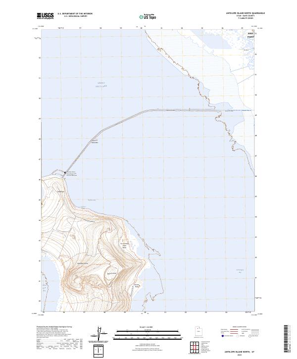
2023 Antelope Island North
Davis County, UT
2023 Antelope Island South
Davis County, UT
2023 Bountiful Peak
Davis County, UT
2023 Buffalo Point
Davis County, UT
2023 Fremont Island SW
Davis County, UT
2023 Plug Peak NE
Davis County, UT
2023 Saltair NE
Davis County, UT