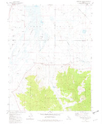
1981 Map of Antelope Valley
USGS Topo · Published 1982About this map
Sierra Valley and Antelope Valley meet here at the boundary of Plumas and Sierra Counties, where a complex network of Channels and the Eastside Canal manage water across the high basin floor. This 1981 record shows a landscape defined by hydraulic engineering and agriculture, marked by numerous Flowing Wells and a Drill Hole scattered throughout the valley. To the south, the terrain rises into the Tahoe National Forest, where features like Rice Hill and Mello Canyon dominate the elevation above the flatlands.
Find a feature on this map
22 named features on this map. Tap any name to fly to it.
Don’t see what you’re looking for? This feature index may not catch every label — zoom into the map to look around manually.
Map Details
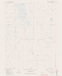
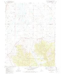
Editions of this 1981 Antelope Valley Map
3 editions found
Other maps of this area

1890 · Sierraville
USGS Topo · 1:125,000

1892 · Sierraville
USGS Topo · 1:125,000

1894 · Sierraville
USGS Topo · 1:125,000

1950 · Chilcoot
USGS Topo · 1:62,500

1950 · Portola
USGS Topo · 1:62,500

1955 · Loyalton
USGS Topo · 1:62,500

1955 · Sierraville
USGS Topo · 1:62,500

1958 · Chico
USGS Topo · 1:250,000

1960 · Chico
USGS Topo · 1:250,000
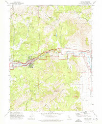
1972 · Portola
USGS Topo · 1:24,000