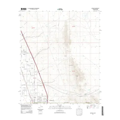
2013 Map of Anthony
USGS Topo · Published 2013About this map
The Franklin Mountains dominate the eastern half of this borderland landscape, rising sharply above the desert floor at prominent points like Anthonys Nose. This 2013 survey illustrates the complex water management systems critical to the Mesilla Valley, featuring the Anthony Lateral and E Drain which support agricultural operations like the River Valley Dairy. The terrain is marked by natural corridors such as Webb Gap and Anthony Gap, providing passage through the high ridges.
Find a feature on this map
68 named features on this map. Tap any name to fly to it.
Don’t see what you’re looking for? This feature index may not catch every label — zoom into the map to look around manually.
Map Details
Editions of this 2013 Anthony Map
This is the sole edition of this map. No revisions or reprints were ever made.
Other maps of this area

1891 · Las Cruces
USGS Topo · 1:125,000

1893 · Las Cruces
USGS Topo · 1:125,000

1896 · El Paso
USGS Topo · 1:125,000

1908 · El Paso
USGS Topo · 1:125,000

1917 · Canutillo
USGS Topo · 1:62,500

1919 · Canutillo
USGS Topo · 1:62,500

1940 · Newman
USGS Topo · 1:62,500

1942 · Fort Bliss
USGS Topo · 1:62,500

1943 · La Mesa
USGS Topo · 1:62,500

1943 · Newman
USGS Topo · 1:62,500