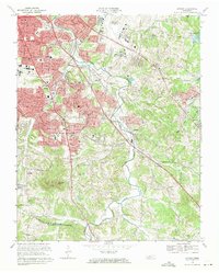
1968 Map of Antioch
USGS Topo · Published 1971About this map
Mill Creek winds through a landscape undergoing rapid suburban transformation, transitioning from the established residential streets of Glencliff and Providence to the rural south toward Pettus. The presence of the Nashville Metropolitan Airport and the sprawling grounds of the Central State Hospital dominate the northern terrain, while the Louisville and Nashville railroad corridor reinforces the area's role as a vital transportation hub for Middle Tennessee.
Find a feature on this map
55 named features on this map. Tap any name to fly to it.
Don’t see what you’re looking for? This feature index may not catch every label — zoom into the map to look around manually.
Map Details
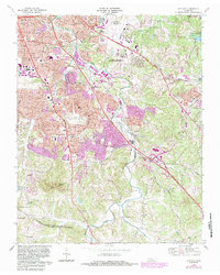
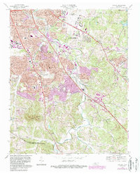
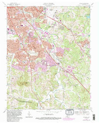
Editions of this 1968 Antioch Map
4 editions found
Other maps of this area

1903 · Nashville
USGS Topo · 1:125,000

1909 · Franklin
USGS Topo · 1:62,500

1932 · Hermitage
USGS Topo · 1:62,500

1932 · Nashville
USGS Topo · 1:62,500

1942 · Lebanon
USGS Topo · 1:100,000

1949 · Franklin
USGS Topo · 1:24,000

1952 · Hermitage
USGS Topo · 1:24,000

1952 · Nashville West
USGS Topo · 1:24,000

1952 · La Vergne
USGS Topo · 1:24,000

1952 · Nashville East
USGS Topo · 1:24,000