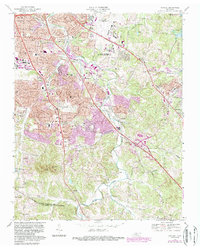
1968 Map of Antioch
USGS Topo · Published 1987About this map
Mill Creek winds through this landscape southeast of Nashville, serving as a primary drainage for a region undergoing rapid suburban transformation. The 1980s updates, shown in purple, illustrate the expansion of residential developments and highway infrastructure near Antioch and Tusculum. The northeastern corner is dominated by the Nashville Metropolitan Airport and the edges of the J Percy Priest Reservoir, while the southern reaches towards the Davidson-Williamson County line remain more punctuated by significant terrain features like Patterson Knob and Holt Knob. Institutional landmarks, including the sprawling Middle Tennessee Mental Health Institute, sit alongside legacy family sites such as Whitsett Cem and Paragon Mills Cem. This document captures the tension between the area's rural past and its integration into the Nashville metropolitan fabric, evidenced by the numerous schools like McMurray Jr High Sch and churches such as Whites Chapel that anchor these growing neighborhoods.
Find a feature on this map
55 named features on this map. Tap any name to fly to it.
Don’t see what you’re looking for? This feature index may not catch every label — zoom into the map to look around manually.
Map Details
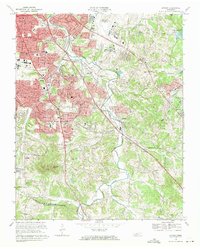
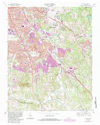
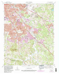
Editions of this 1968 Antioch Map
4 editions found
Other maps of this area

1903 · Nashville
USGS Topo · 1:125,000

1909 · Franklin
USGS Topo · 1:62,500

1932 · Hermitage
USGS Topo · 1:62,500

1932 · Nashville
USGS Topo · 1:62,500

1942 · Lebanon
USGS Topo · 1:100,000

1949 · Franklin
USGS Topo · 1:24,000

1952 · Hermitage
USGS Topo · 1:24,000

1952 · Nashville West
USGS Topo · 1:24,000

1952 · La Vergne
USGS Topo · 1:24,000

1952 · Nashville East
USGS Topo · 1:24,000