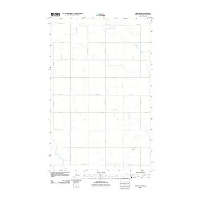
2011 Map of Antler NW
USGS Topo · Published 2011About this map
Cut Bank Creek winds through this rural stretch of Bottineau County along the international border, defining a landscape shaped by glacial activity and modern agriculture. The terrain is a network of prairie potholes and wetlands, interspersed with a grid of section-line roads like County Rd 2 and 109th St NW. The local history of the early twenty-first century is anchored by the Haas Cemetery, a quiet landmark situated near the junction of 102nd St NW and 32nd Ave NW. This survey captures the sparse, rhythmic layout of the Great Plains, where the infrastructure of north-south avenues and east-west streets facilitates the transit of agricultural goods across this borderland region.
Find a feature on this map
16 named features on this map. Tap any name to fly to it.
Don’t see what you’re looking for? This feature index may not catch every label — zoom into the map to look around manually.
Map Details
Editions of this 2011 Antler NW Map
This is the sole edition of this map. No revisions or reprints were ever made.
Other maps of this area

1948 · Dokken SW
USGS Topo · 1:24,000

1948 · Mohall
USGS Topo · 1:24,000

1949 · Mohall NE
USGS Topo · 1:24,000

1950 · Antler NW
USGS Topo · 1:24,000

1950 · Mohall
USGS Topo · 1:62,500

1950 · Antler
USGS Topo · 1:24,000
1950 · Renville
USGS Topo · 1:24,000

1954 · Minot
USGS Topo · 1:250,000

1958 · Minot
USGS Topo · 1:250,000
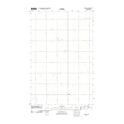
2011 · Renville
USGS Topo · 1:24,000