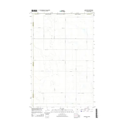
2014 Map of Antler NW
USGS Topo · Published 2014About this map
Bottineau County and Renville County meet along the western edge of this prairie landscape, where the rectangular survey system defines every township line and county road. The terrain is characterized by numerous small potholes and wetlands typical of the North Dakota drift prairie, with drainage patterns flowing subtly toward the northeast corner of the quadrangle. Highlighting the local genealogy of the area is the Haas Cem, located along 102nd St NW east of 33rd Ave NW. This grid of section-line roads, including the prominent Cr-1 and 109th St NW, illustrates the enduring structure of family farming and land division in the region during the early 21st century.
Find a feature on this map
20 named features on this map. Tap any name to fly to it.
Don’t see what you’re looking for? This feature index may not catch every label — zoom into the map to look around manually.
Map Details
Editions of this 2014 Antler NW Map
This is the sole edition of this map. No revisions or reprints were ever made.
Other maps of this area

1948 · Dokken SW
USGS Topo · 1:24,000

1948 · Mohall
USGS Topo · 1:24,000

1949 · Mohall NE
USGS Topo · 1:24,000

1950 · Antler NW
USGS Topo · 1:24,000

1950 · Mohall
USGS Topo · 1:62,500

1950 · Antler
USGS Topo · 1:24,000
1950 · Renville
USGS Topo · 1:24,000

1954 · Minot
USGS Topo · 1:250,000

1958 · Minot
USGS Topo · 1:250,000
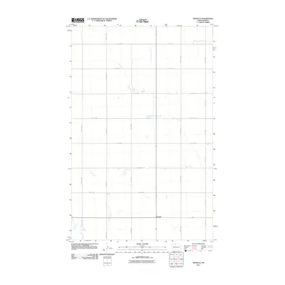
2011 · Renville
USGS Topo · 1:24,000