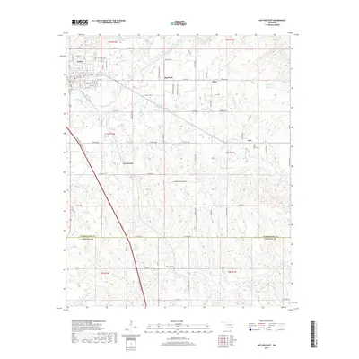
2019 Map of Antlers East
USGS Topo · Published 2019About this map
The Kiamichi River winds through the northern reaches of this landscape, anchoring a region defined by the transition from the town of Antlers into the rural stretches of Pushmataha and Choctaw counties. Small communities and named locales such as Big Rocks, Ethel, and Dela are connected by a network of county roads, including Co Rd 1920 and Kimberlin Rd. The southeastern corner transitions into the drainage of One Cr near the settlement of Hamden. Local history is preserved in several dedicated sites, notably the Odd Fellows Cem on the outskirts of Antlers, and rural burial grounds like Ethel Cem and White Church Cem further east. The map detail reflects a classic Choctaw Country arrangement of small-town blocks giving way to creek-fed bottoms and timbered ridges, with features like Dumpling Cr and Negro Cr cutting through the terrain.
Find a feature on this map
80 named features on this map. Tap any name to fly to it.
Don’t see what you’re looking for? This feature index may not catch every label — zoom into the map to look around manually.
Map Details
Editions of this 2019 Antlers East Map
This is the sole edition of this map. No revisions or reprints were ever made.
Other maps of this area

1901 · Antlers
USGS Topo · 1:125,000

1901 · Alikchi
USGS Topo · 1:125,000

1912 · Antlers
USGS Topo · 1:125,000

1925 · Antlers
USGS Topo · 1:125,000

1950 · Mcalester
USGS Topo · 1:250,000

1957 · Moyers
USGS Topo · 1:24,000

1961 · Antlers East
USGS Topo · 1:24,000

1961 · Antlers West
USGS Topo · 1:24,000

1962 · McAlester
USGS Topo · 1:250,000

1965 · McAlester
USGS Topo · 1:250,000