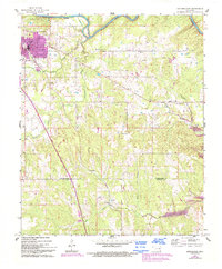
1961 Map of Antlers East
USGS Topo · Published 1993About this map
Antlers serves as the primary hub on this survey, situated just south of the winding Kiamichi River. The landscape transitions from the urban grid of the town center to a series of rural communities and crossroads, including Ethel, Dela, and Hamden. Local history is anchored by landmarks such as the Odd Fellows Cem and the White Church Cem, while the Big Rocks Picnic Area highlights the area's recreational geography.
Find a feature on this map
21 named features on this map. Tap any name to fly to it.
Don’t see what you’re looking for? This feature index may not catch every label — zoom into the map to look around manually.
Map Details
Editions of this 1961 Antlers East Map
2 editions found
Other maps of this area

1901 · Antlers
USGS Topo · 1:125,000

1901 · Alikchi
USGS Topo · 1:125,000

1912 · Antlers
USGS Topo · 1:125,000

1925 · Antlers
USGS Topo · 1:125,000

1950 · Mcalester
USGS Topo · 1:250,000
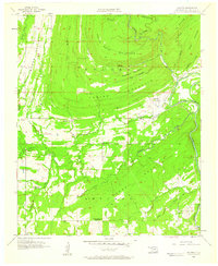
1957 · Moyers
USGS Topo · 1:24,000
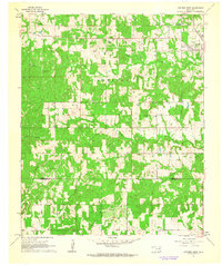
1961 · Antlers East
USGS Topo · 1:24,000
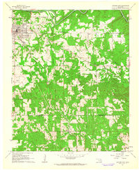
1961 · Antlers West
USGS Topo · 1:24,000

1962 · McAlester
USGS Topo · 1:250,000

1965 · McAlester
USGS Topo · 1:250,000