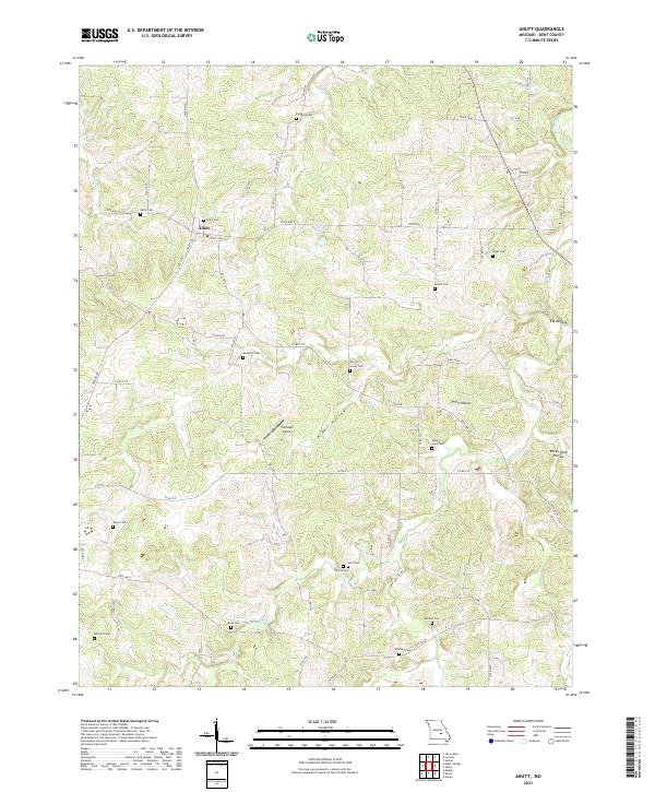
2021 Map of Anutt
USGS Topo · Published 2021About this map
The settlement of Anutt serves as the central hub of this Missouri landscape, situated where State Hwy O and State Hwy C meet. This terrain is defined by a dense network of winding valleys, or hollows, such as Alder Hollow, Price Hollow, and Elk Hollow, which dictate the rural road patterns and property lines. Waterways like Dry Fork and Barnitz Prong carve through the Dent County hills, providing the natural structure for the region's agricultural layout.
Find a feature on this map
70 named features on this map. Tap any name to fly to it.
Don’t see what you’re looking for? This feature index may not catch every label — zoom into the map to look around manually.
Map Details
Editions of this 2021 Anutt Map
This is the sole edition of this map. No revisions or reprints were ever made.
Other maps of this area

1912 · Rolla
USGS Topo · 1:62,500

1928 · Meramec Spring
USGS Topo · 1:62,500

1937 · Edgar Springs
USGS Topo · 1:48,000

1941 · Salem
USGS Topo · 1:62,500

1945 · Salem
USGS Topo · 1:62,500

1945 · Edgar Springs
USGS Topo · 1:62,500

1949 · Rolla
USGS Topo · 1:250,000

1949 · Meramec Spring
USGS Topo · 1:62,500
1950 · Yancy Mills
USGS Topo · 1:24,000
1951 · Yancy Mills
USGS Topo · 1:24,000